The Golo (French pronunciation: [ɡɔlo]; Corsican: Golu) is the longest river on the island of Corsica, France, at 89.4 kilometres (55.6 mi)
Course
The Golo is 89.38 kilometres (55.54 mi) long. It crosses the communes of Aiti, Albertacce, Bigorno, Bisinchi, Calacuccia, Campile, Campitello, Canavaggia, Casamaccioli, Castello-di-Rostino, Castirla, Corscia, Gavignano, Lento, Lucciana, Monte, Morosaglia, Olmo, Omessa, Piedigriggio, Prato-di-Giovellina, Prunelli-di-Casacconi, Saliceto, Valle-di-Rostino, Venzolasca, Vescovato, Vignale and Volpajola.
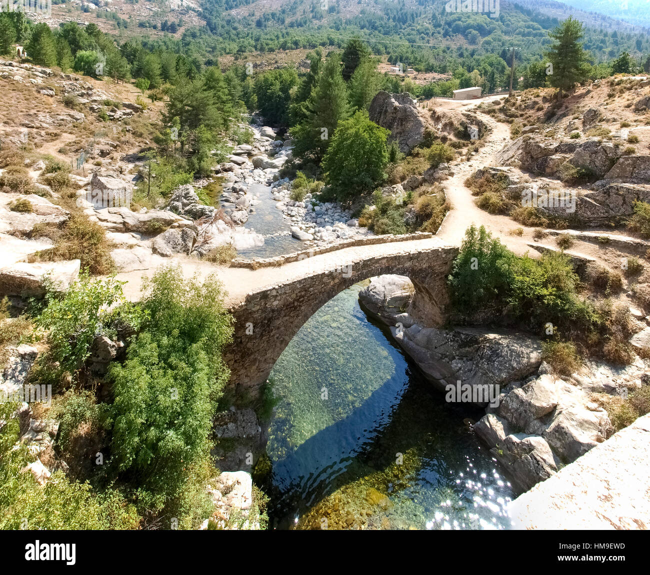
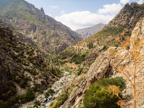
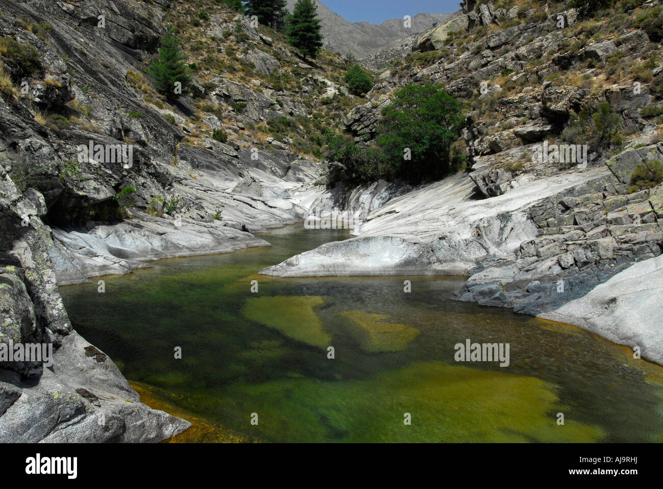
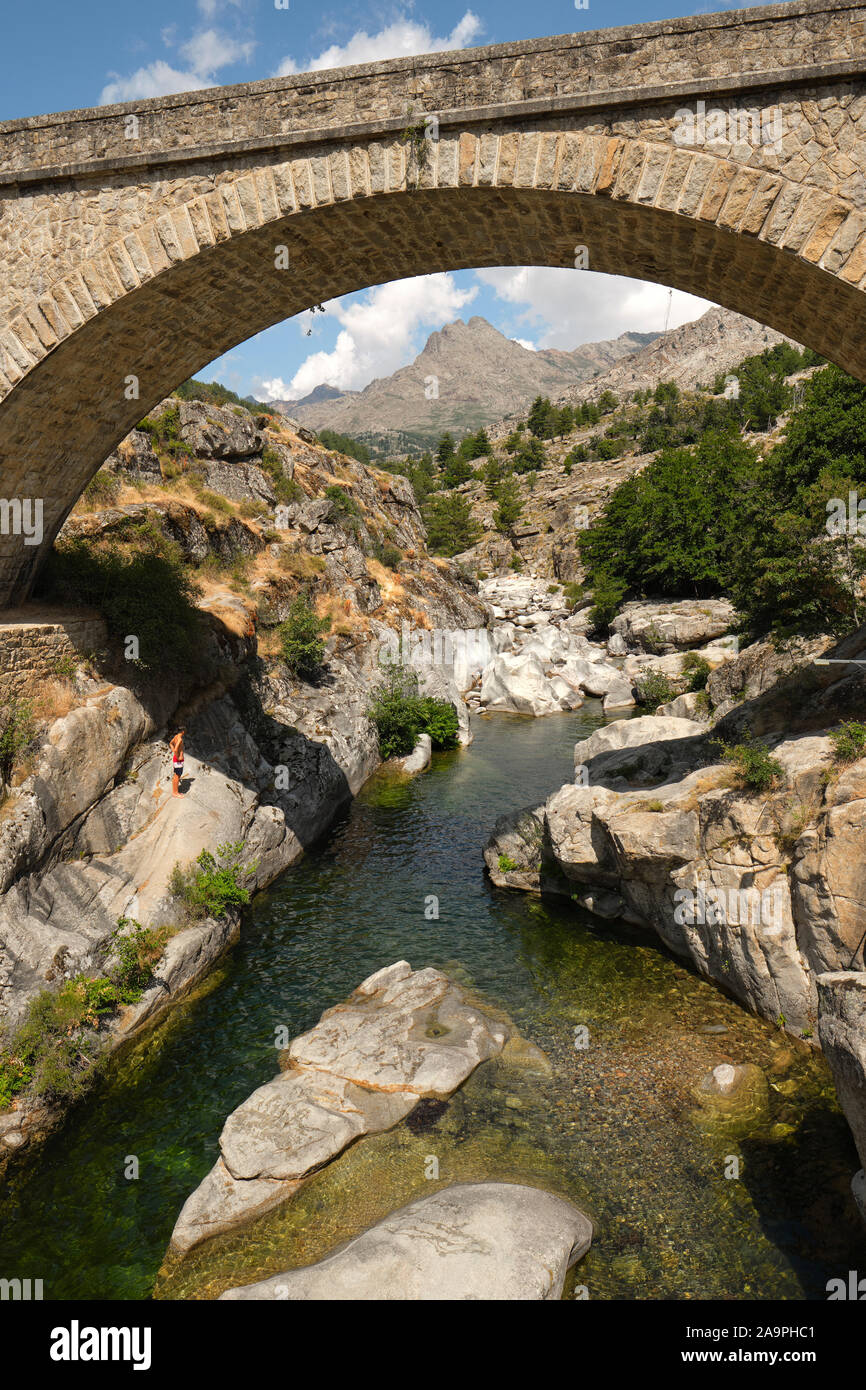
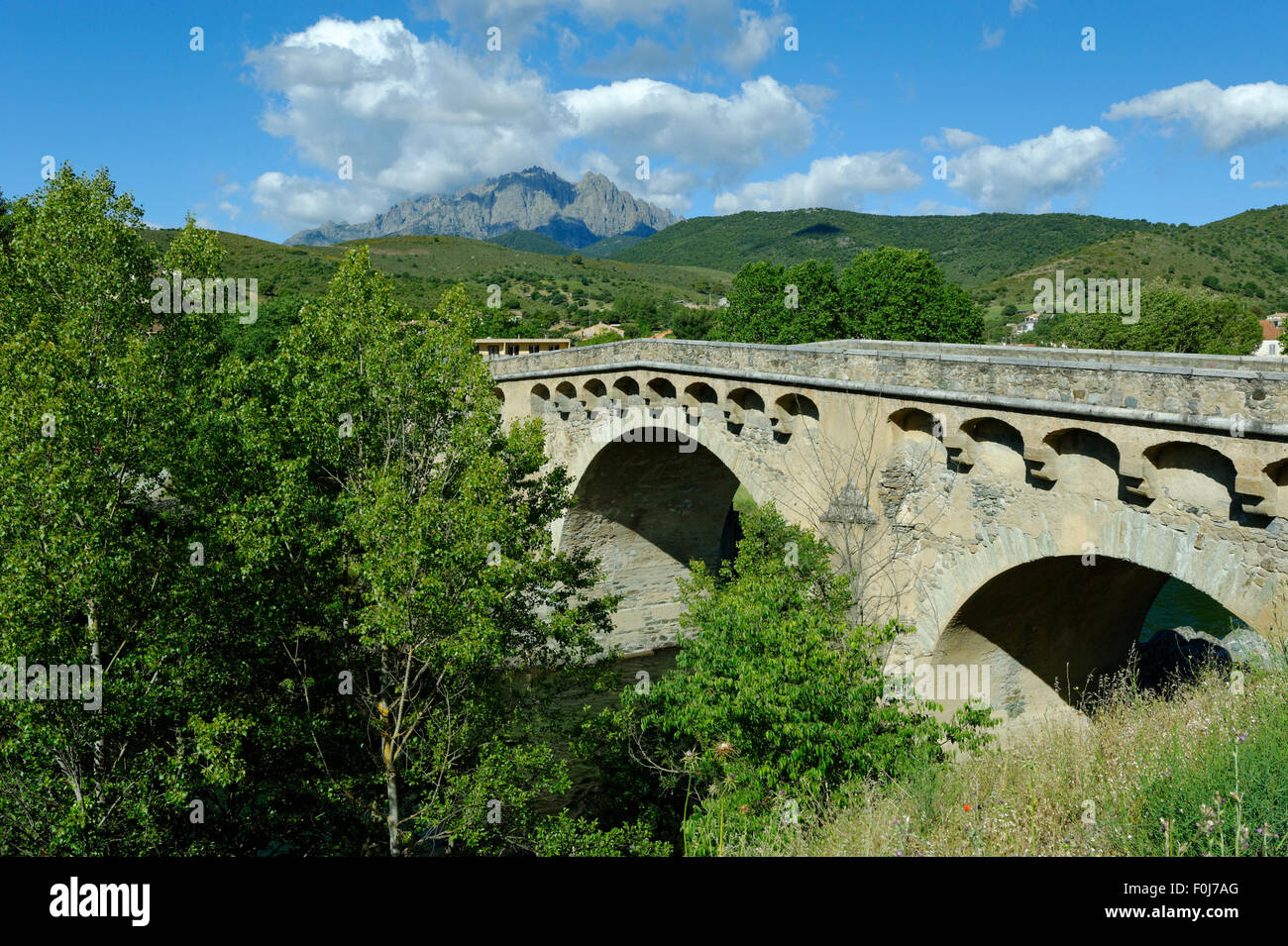
The Golo's source is in the mountainous middle of the island, south of Monte Cinto. It flows generally northeast, through Calacuccia and Ponte-Leccia, and ends in the Tyrrhenian Sea approximately 20 kilometres (12 mi) south of Bastia, near the Bastia – Poretta Airport. Its entire course is in the Haute-Corse département. The river is dammed at Calacuccia to form the Lac de Calacuccia, a hydroelectric reservoir.
Hydrology
Measurements of the river flow were taken at the Volpajola [Barchetta] station from 1961 to 2021. The watershed above this station covers 926 square kilometres (358 sq mi). Annual precipitation was calculated as 506 millimetres (19.9 in). The average flow of water throughout the year was 14.8 cubic metres per second (520 cu ft/s).
Tributaries
The following streams (ruisseaux) are tributaries of the Golo, ordered by length:
References
Sources